- Store
- >
- Maps - Europe
- >
- Italy
- >
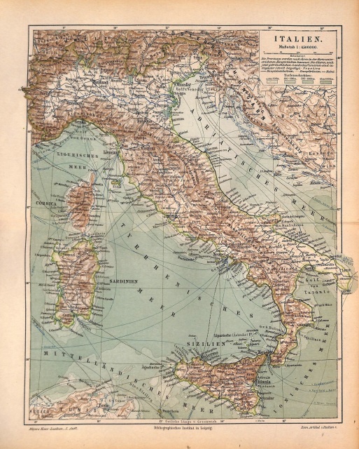
- SOLD Italy, Map of Italy, Shipping Routes, 1896
SOLD Italy, Map of Italy, Shipping Routes, 1896
SKU:
$45.00
$45.00
Unavailable
per item
Antique chromolithographic map of Italy also showing shipping routes, cable lines and main railway routes. Engraved and published by the Bibliographisches Institut, Germany, 1896. Overall size, including margins is 9.5 x 12". Center crease, as issued.
Sold out
