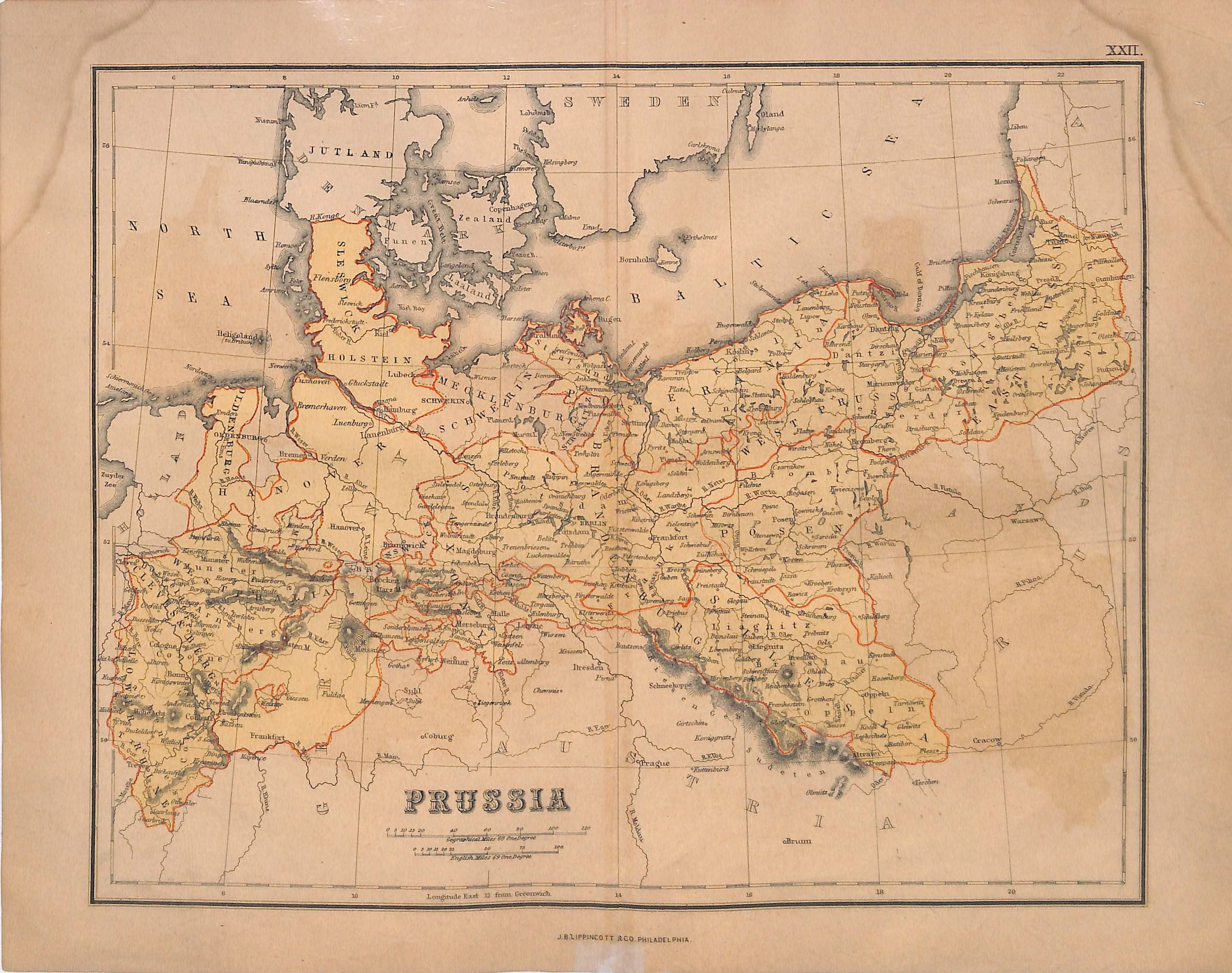
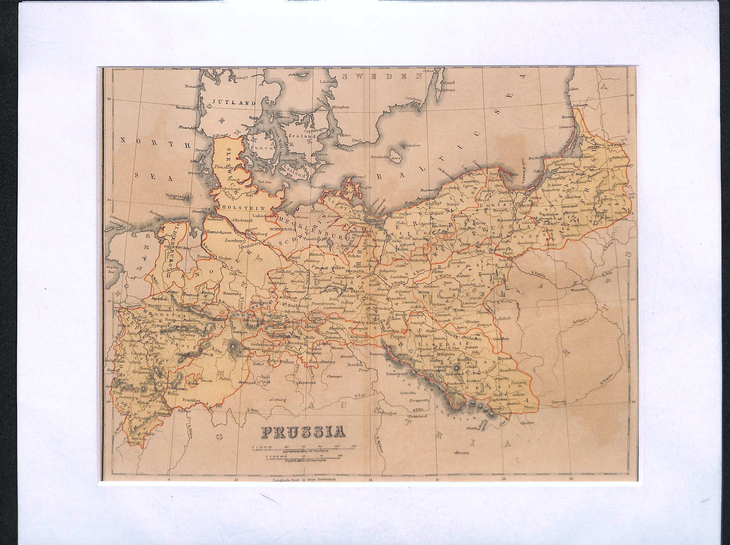
Prussia, Germany, Antique Map 1869, Matted 11 x 14"
SKU:
$45.00
$45.00
per item
Antique chromolithographic map showing Prussia with the various state borders shown in red. This map comes from "Chambers Atlas" published by J.B. Lippincott & Co. (Philadelphia, 1869). Measurements are 10 x 12.5" including margins; center crease as issued. Paper is toned (yellowed) and damp-stains in margins. Sold in an acid-free, standard 11 x 14" mat.
1 available