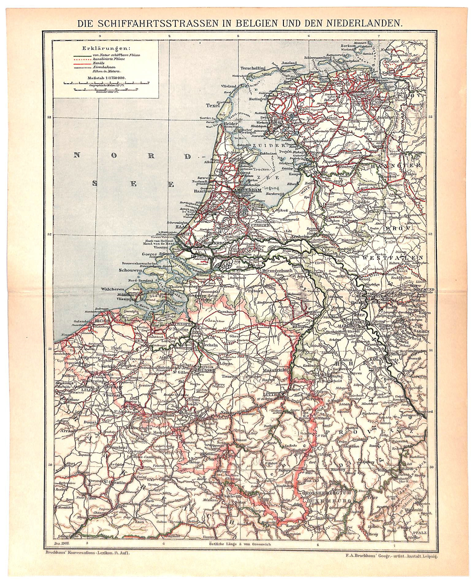
Belgium Netherlands Shipping Routes, Antique Map 1908
SKU:
$40.00
$40.00
per item
Antique chromolithographic map showing shipping routes in Belgium and the Netherlands. Engraved and published F.A. Brockhaus for the "Brockhaus Konversations Lexikon," Germany, 1908. Overall print size including margins is 9.75 x 12.25". Sold on an acid-free, standard 11 x 14" backer board. Center crease, as issued.
1 available