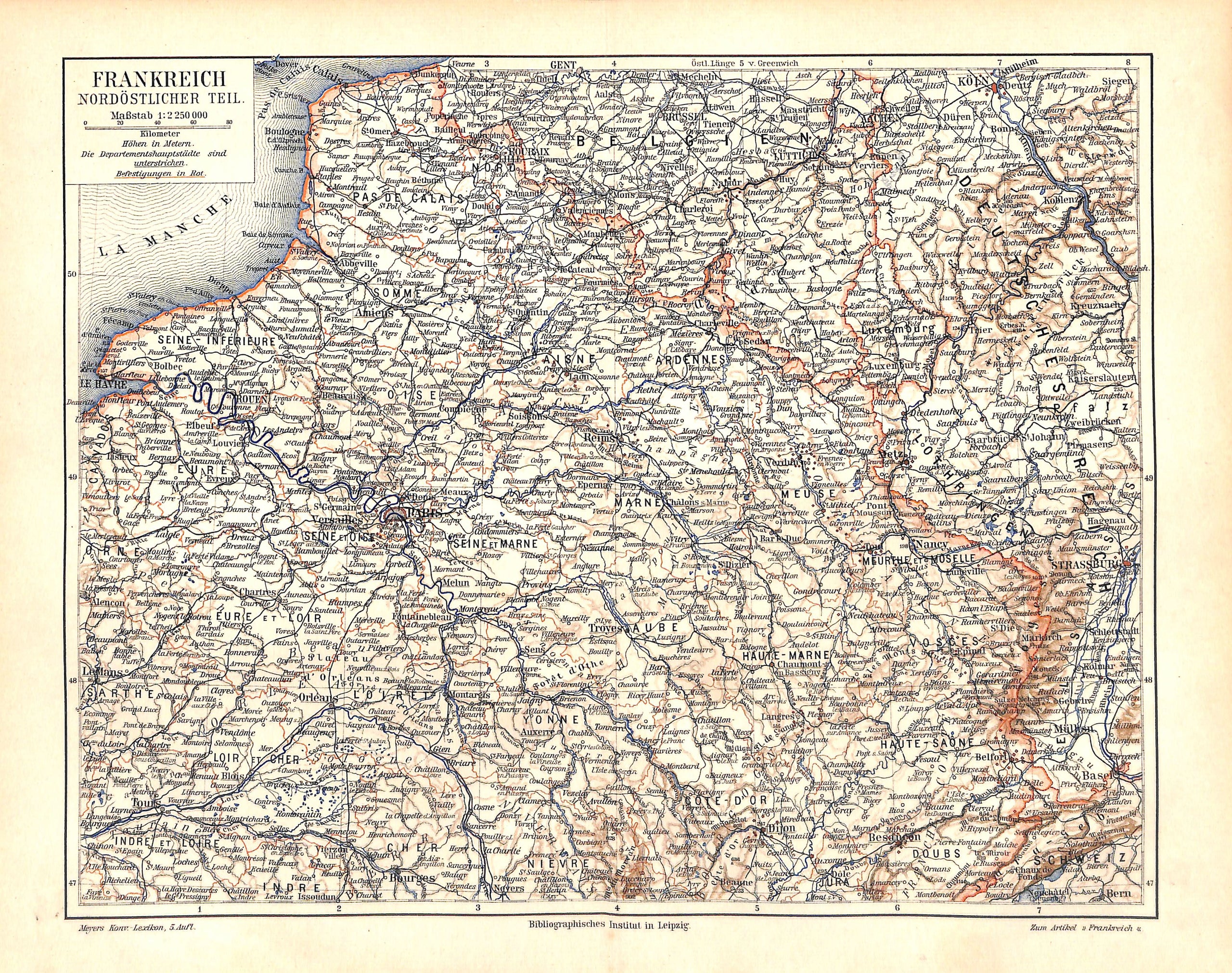
France, Northeastern France, Antique Map 1896
SKU:
$35.00
$35.00
per item
Antique chromolithographic map showing the northeastern portion of France. This map is from Meyer's Konversations Lexikon, published in Germany, 1896. Map measures 9.5 x 12" and is mounted on an acid-free, standard 11 x 14" backer board. Center crease, as issued.
1 available